This site exists to supply USA airspace files for GoogleEarth and PlanePlotter. These files have beeen generated from official FAA sources, but should not be used for navigation in any way. Use at your own risk for any purpose you choose.
CIFP data comes from FAA files effective February 22, 2026. Center boundary data valid effective January 22, 2026. Data is theoretically valid for 28 days.
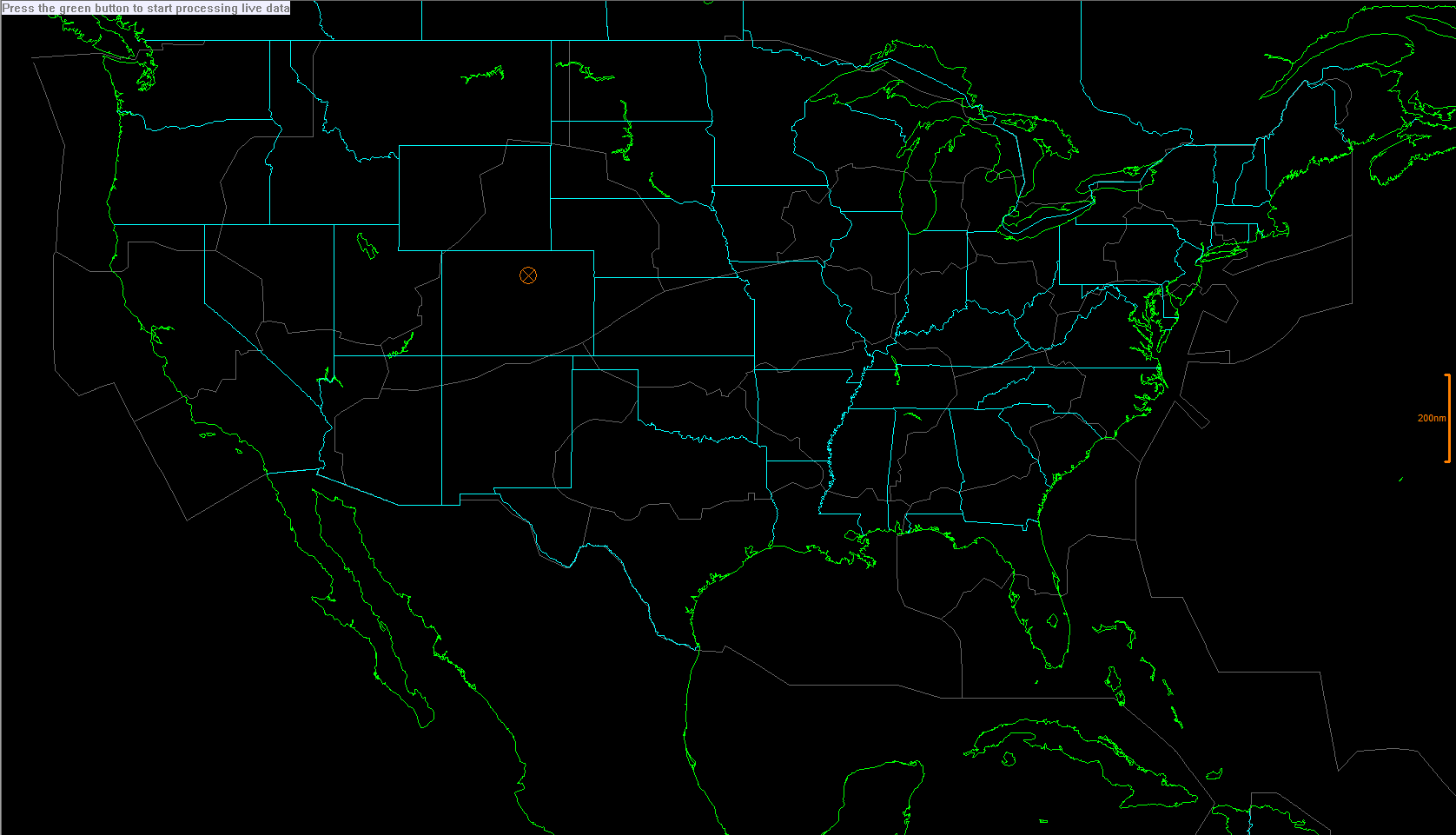
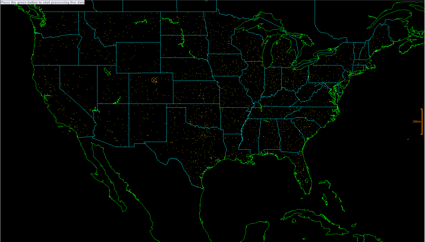
The items here cover the entire USA (including AK and HI even though the images don't show them).
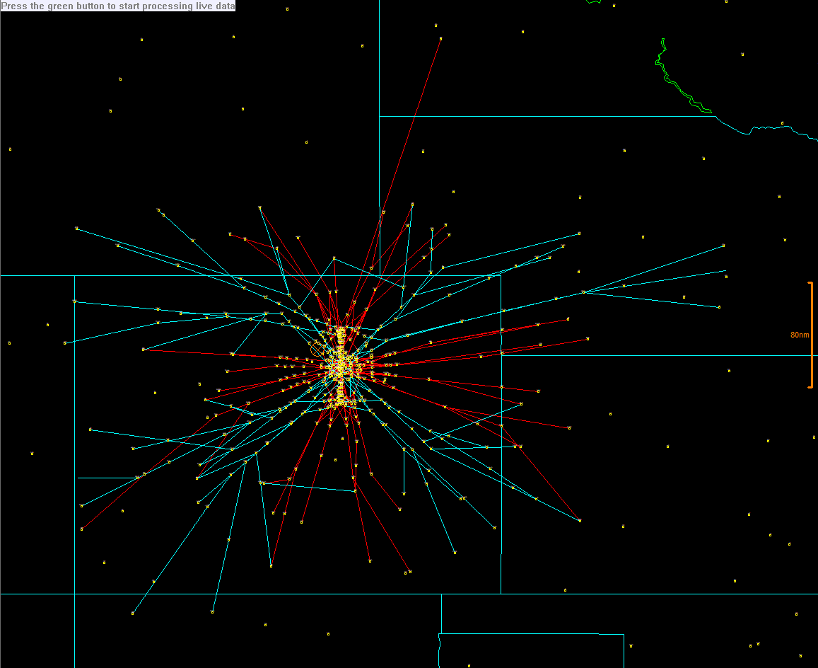
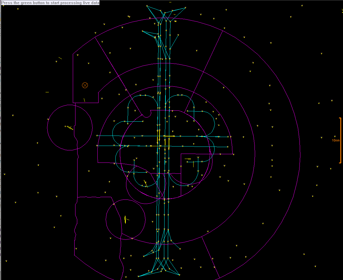
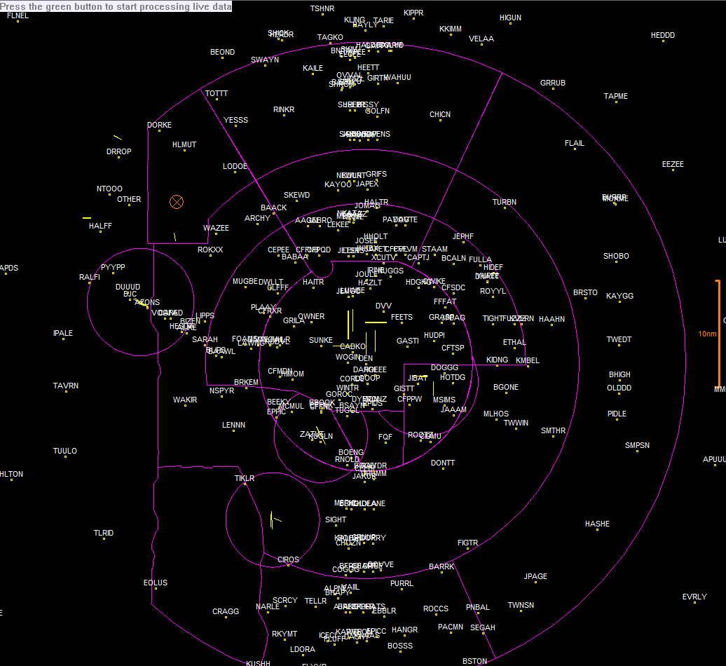
These items cover a "local" area. Images for KDEN are shown, but other areas have similar features. Need an airport you don't see? Click the request link below.
Need an airport you don't see listed? Just let me know. Send me a request.
If you don't like the colors I have chosen for the out files, you can easily customize the files to suit your desires. The second line of .OUT files specifies a color code following "$TYPE=". You can change the colors as follows:
0: Red
1: Orange
2: Yellow
3: Green
4: Cyan
5: Blue
6: Magenta
7: White
8: Gray